Field Campaign in Fire-Affected Areas: Technology and Science on the Ground
by María Burguet | 2025/06/20
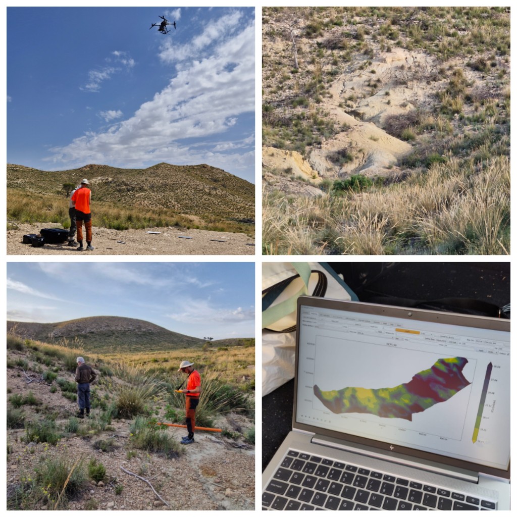
Over the past few days, the GRwater project team has conducted an intensive field campaign in the Agramon watershed, affected by the 2019 wildfire. This phase of fieldwork allowed the deployment and validation of various technological tools to monitor soil and vegetation recovery.
📸 1. Technology in action
UAV flights were carried out using multispectral, thermal, and RGB cameras, enabling the creation of high-resolution maps of evapotranspiration, vegetation regeneration, and structural changes in the terrain.
📸 2. Electrical conductivity measurements
An electromagnetic antenna was used to measure soil electrical conductivity—an important indicator of hydrological status and post-fire soil processes.
📸 3. Experimental plots
Sampling was conducted across plots with different post-fire management treatments (mulching, log-erosion barriers, spontaneous recovery) to assess their effectiveness in promoting ecosystem restoration.
📸 4. Multidisciplinary collaboration
The fieldwork brought together experts in soil science, geophysics, remote sensing, hydrology, and ecology, showcasing the integrative approach of the GRwater project to address post-wildfire landscape challenges.